Mapping a counter-geography to America’s colour line
This project was inspired by little-known residential security maps of 1935 for 239 American cities that delineated heterogeneous urban environments into smaller homogenous entities and, in consequence, institutionally privileged white areas over black.
As a developing southern city, Charlotte, North Carolina, provided a unique opportunity as a case study because its urban history involved nearly a century of aggressively re-sorting its racial landscape, leaving the majority – all but one – of African American communities on its periphery.
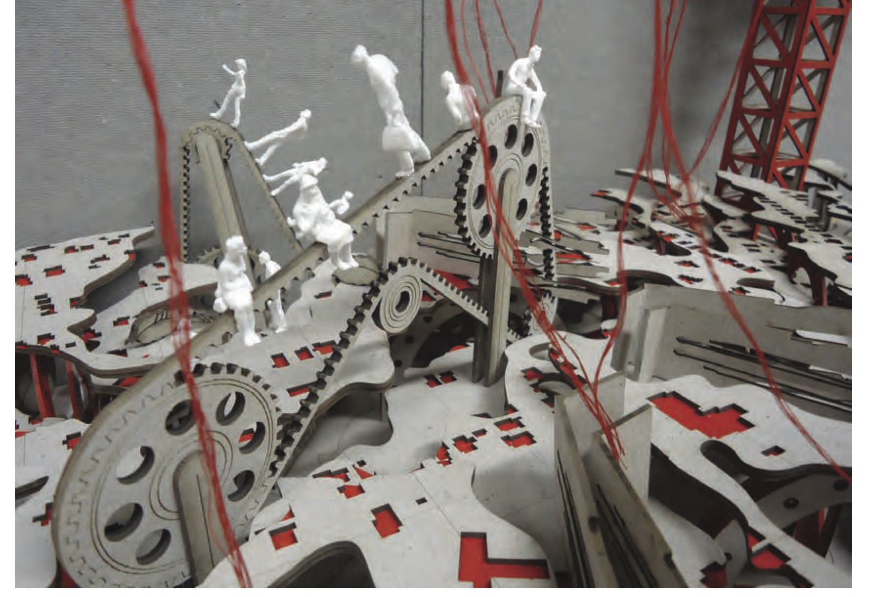
This fallacious polarisation of black and white in the urban landscape and in characterisations of individual and collective African American identity begged an alternative methodology for urban planning. Through mapping as narrative, collage and 3-dimensional model, the primary text for this project – society of the spectacle by Guy Dubord – inspired a counter- geography that sought to explore the complexities of a racially de-polarised space with ambivalent grey identities.
By exploiting the physical and ideological implications of the spectacle (Charlotte’s predominantly Caucasian centre), the alternative discourses found suggest counter-maps as a ‘weapon of the weak’ that effectively interrupted and challenged existing traditional and contemporary circuits of the dominant culture. In them, Interstate-77 (downtown Charlotte’s Northwest boundary) becomes a hypothesised colour line as a result of its divisive nature, and is punctuated by a network of ‘objective spaces’ distilled from analysis of the civil rights movement, oral histories of local Charlotteans, and African American novelists.
